Home Destinations Activities Lodging Camping Houseboating Sightseeing Books & Maps


   Introduction

  Accommodations
   Lodging
   RV Parks - Camping
   RV Rental

  Activities
   Boating
   Fishing
   Hiking
   Horseback Riding
   Offroad - ATV
   Outdoor Gear

  Sightseeing
   Attractions / Parks
   Scenic Drives
   Sightseeing Tours

  Additional Info
   Books / Maps
   Tourism Resources
   Nearby Destinations
   Restaurants
   Transportation
   Weather
   Photo Gallery


Nogales - Transportation

Transportation information, including detailed maps, for the Nogales area is provided below.
Enterprise Rent-A-Car
 

 Getting There

  Nogales is directly on the Arizona/Mexico border, about 62 miles south of Tucson on I-19.
   
 
Arizona Road Map 113K State Road Map
Nogales Area Map 39K General Area Map
Southern Arizona Region Map 54K Regional Road Map
 Rental Cars

  Enterprise Rent-A-Car - 50% off Arizona Car Rentals Enterprise Rent-A-Car   
  Enterprise Rent-A-Car Save 50% on Weekends. Great Cars and Free Pick-Up. BOOK NOW! Enterprise Rent-A-Car offers great rates and great service. Choose from over 6,500 locations near your home, work or destination. Enterprise even offers vans and SUVs for that special trip.
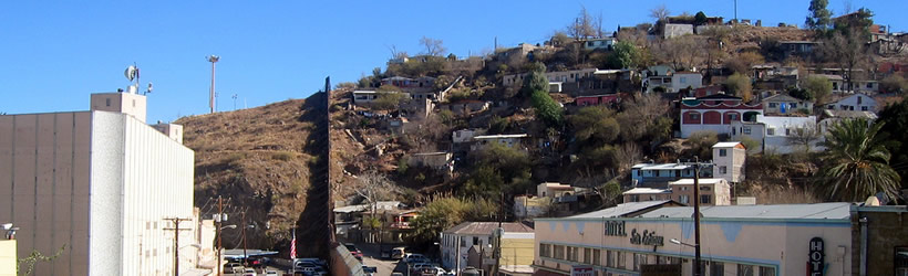
 Crossing into Mexico


As of January 31, 2008, to cross both into and out of Mexico by car or by foot, you will need a passport. Alternatively, you can provide a government-issued photo id (like a driver's license) plus proof of U.S. citizenship (like a birth certificate).

To learn more about border crossings, refer to the U.S. state department page.

   
 Airport Information

  The nearest commercial airport is in Tucson, 65 miles north of Nogales.


Copyright 1998 - 2008