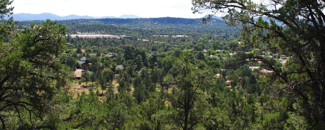


Payson, Arizona is a pretty tourist town at the base of the Mogollon Rim in Central Arizona. It is nicely situated between cooler mountain climes to the north and rugged desert to the south. Travel 30 miles north and you are on top of the Mogollon Rim at about 7500 feet in tall Ponderosa Pine forests. Head 30 miles south and you are in the heart of the central deserts or enjoying Roosevelt Lake.
Near Payson are 3 National Forests. Coconino and Sitgreaves National Forests incorporate the higher elevation mountains and forests. Tonto National Forest incorporates the lower elevation deserts and the Verde and Salt River reservoir systems. About 60 miles northwest is Camp Verde in the Verde Valley.
Payson is located 100 miles northeast of Phoenix on Hwy 87. It is 115 miles south of Flagstaff.
To learn more about Payson, select a topic of interest from the list to the left.