


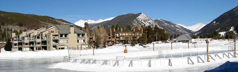


Weather information for the Keystone Resort area is provided below. Average temperatures, climate details and current forecasts are included!
Climate
At over 9,000 feet above sea level, the Keystone area has a cool climate. Summer temperatures are often nice, but cold spells dropping into the 40s can happen even in July. Winter nights can sometimes drop well below zero. Dressing in layers is recommended.
| Jan | Feb | Mar | Apr | May | Jun | Jul | Aug | Sep | Oct | Nov | Dec | ||
| Avg. High | 31 | 34 | 39 | 46 | 56 | 67 | 73 | 71 | 64 | 54 | 39 | 32 | |
| Avg. Low | 0 | 3 | 11 | 18 | 27 | 34 | 39 | 38 | 31 | 22 | 11 | 3 | |
| Precipitation | 0.9 | 1.0 | 1.1 | 1.2 | 1.5 | 1.2 | 1.8 | 1.7 | 1.3 | 0.8 | 0.9 | 0.8 | |
Live weather is currently unavailable.
Please visit weather.gov for current and forecasted weather.
Today
Chance Snow Showers then Chance Rain Showers
Tonight
Slight Chance T-storms
Friday
Chance Snow Showers then Showers And Thunderstorms Likely
Friday Night
Slight Chance T-storms
Saturday
Snow Showers Likely then Showers And Thunderstorms
Saturday Night
Slight Chance T-storms then Partly Cloudy
Detailed Forecast |
|
|---|---|
| Today | A chance of snow showers before 11am, then a chance of rain showers. Mostly cloudy, with a high near 53. West southwest wind 13 to 23 mph, with gusts as high as 37 mph. Chance of precipitation is 50%. Little or no snow accumulation expected. |
| Tonight | A slight chance of showers and thunderstorms before 7pm, then a slight chance of thunderstorms and a chance of rain and snow showers. Mostly cloudy. Low around 31, with temperatures rising to around 34 overnight. West southwest wind 9 to 16 mph, with gusts as high as 28 mph. Chance of precipitation is 30%. New snow accumulation of less than half an inch possible. |
| Friday | A chance of snow showers before 10am, then a chance of rain showers between 10am and noon, then showers and thunderstorms likely. Mostly cloudy. High near 55, with temperatures falling to around 53 in the afternoon. West wind 6 to 18 mph, with gusts as high as 26 mph. Chance of precipitation is 60%. |
| Friday Night | Showers and thunderstorms before 9pm, then a slight chance of thunderstorms and rain and snow showers. Cloudy, with a low around 30. South wind 6 to 12 mph, with gusts as high as 17 mph. Chance of precipitation is 80%. New snow accumulation of 1 to 2 inches possible. |
| Saturday | Snow showers likely before 9am, then snow showers likely and a slight chance of thunderstorms between 9am and 11am, then showers and thunderstorms. Mostly cloudy, with a high near 53. West southwest wind 6 to 13 mph, with gusts as high as 21 mph. Chance of precipitation is 80%. New snow accumulation of less than half an inch possible. |
| Saturday Night | A slight chance of showers and thunderstorms before 8pm, then a slight chance of thunderstorms and a slight chance of rain and snow showers between 8pm and midnight. Partly cloudy, with a low around 29. Chance of precipitation is 20%. |
| Sunday | A chance of rain showers after noon. Mostly sunny, with a high near 57. Chance of precipitation is 40%. |
| Sunday Night | A slight chance of rain showers before 9pm, then a slight chance of rain and snow showers between 9pm and midnight. Partly cloudy, with a low around 34. |
| Monday | A chance of rain and snow showers. Mostly sunny, with a high near 58. |
| Monday Night | Mostly cloudy, with a low around 31. |
| Tuesday | A chance of showers and thunderstorms after noon. Mostly sunny, with a high near 61. |
| Tuesday Night | Partly cloudy, with a low around 33. |
| Wednesday | A slight chance of rain showers after noon. Mostly sunny, with a high near 63. |
| Wednesday Night | Partly cloudy, with a low around 33. |