Weather information for the Canyon de Chelly National Monument area is provided below. Average temperatures, climate details and current forecasts are included!
- Loading
Your request has been processed, thank you!
We also have the following visitor guides in Arizona. Click on any additional guides you would like to receive.


Utah - Life Elevated Statewide
Utah - Life Elevated

Prescott: An Arizona Gem Central Arizona
Prescott: An Arizona Gem

Tempe Phoenix Area - Central Arizona
Tempe

Chandler Phoenix area - Central Arizona
Chandler

Catalina Island Southern California
Catalina Island

Zion National Park - North Rim Grand Canyon Southern Utah
Zion National Park - North Rim Grand Canyon

San Juan County Southeast Utah
San Juan County

Discover Gilbert Phoenix Area
Discover Gilbert

Lake Havasu City Western Arizona
Lake Havasu City

Capitol Reef Country Central Utah
Capitol Reef Country

Town of Clifton Southeastern
Town of Clifton

Arizona - The Grand Canyon State Arizona
Arizona - The Grand Canyon State

Sierra Vista Southern Arizona
Sierra Vista

Discover Salt River Scottsdale Area
Discover Salt River

Sedona Central Arizona
Sedona

Superior Southeastern Arizona
Superior

Town of Clarkdale North-Central Arizona
Town of Clarkdale

Glendale Phoenix Area - Central Arizona
Glendale
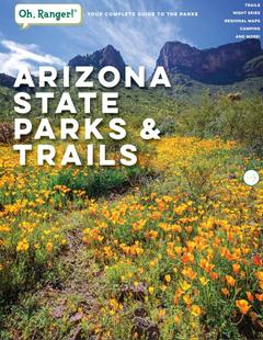
Arizona State Parks State of Arizona
Arizona State Parks

Douglas, Arizona Southern Arizona
Douglas, Arizona
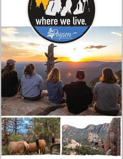
Town of Payson Central Arizona
Town of Payson

Wickenburg Central Arizona
Wickenburg

Bisbee Southern Arizona
Bisbee

Bryce Canyon Country Southern Utah
Bryce Canyon Country

Benson Southeast
Benson
Specialty Guides

Maverick Helicopters Nevada, Arizona, Hawaii, and California
Maverick Helicopters
We also have visitor guides available in states highlighted in blue below. Click on any state to see what's available.
- Alaska
- Arizona
- California
- Canada
- Colorado
- Hawaii
- Idaho
- Michigan
- Montana
- Nevada
- New Mexico
- Ohio
- Oregon
- Texas
- Utah
- Washington
- Wyoming
Climate
At an elevation of 5000-6000 feet Canyon De Chelly National Monument experiences a high desert climate with extreme daily temperature changes (40 degree swing is not uncommon). In the summer, there are regularly 100+ temperatures and it is always below freezing on winter nights. Canyon De Chelly lies in the path of the summer monsoon storms, and the late summer afternoons often experience isolated thunderstorms.
Average high and low temperatures by month and average precipitation are listed below:
| Month | Avg. High |
Avg. Low |
Avg. Precip. |
| January | 43° F | 16° F | 0.7 in |
| February | 51° F | 22° F | 0.6 in |
| March | 59° F | 27° F | 0.7 in |
| April | 68° F | 34° F | 0.5 in |
| May | 77° F | 42° F | 0.5 in |
| June | 87° F | 50° F | 0.3 in |
| July | 91° F | 58° F | 1.3 in |
| August | 88° F | 57° F | 1.4 in |
| September | 82° F | 49° F | 0.9 in |
| October | 70° F | 36° F | 1.1 in |
| November | 56° F | 27° F | 0.9 in |
| December | 45° F | 17° F | 0.7 in |